PEDJ
architecture
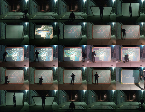
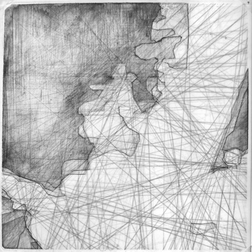
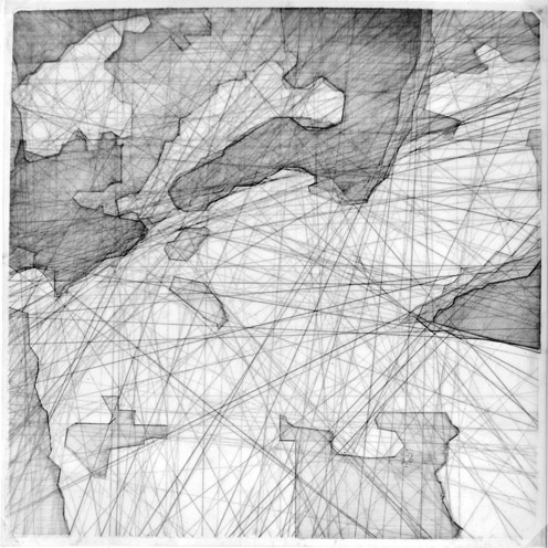
As an extenision of the group research of legal and natural boundary conditions, I have constructed a 1:1 scale nomadic mapping instrument - nomadic both in the physical/literal sense and also in the conceptual sense as a reference to the idea of nomadic science, a practice of studying more dynamic conditions of the physical world rather than the set of fixed ideals around which State science operates. Considering the ecological dynamic of the Delta do Jacui and the static legal boundary of the State Park of the Delta do Jacui, this device attempts to choreograph the relationship between the two by describing their site of interaction, the boundary itself. In order to do this, a series of time sensitive GIS datasets have been collated and subsequently geometricized, acknowledging at once both the need to rationalize the landscape for legal purposes according to the superimposed cartesian grid as well as the need to visualize appropriate natural boundaries for the purposes of preservation according to a grid of pixels codified by the land's intrinsic ecological value. Viewing the annual flooding of the Delta as a process of recalibration of both the human and natural boundary zones, there will thus be an annual remapping of the State Park as a descriptive geometry reinserted as an ammendment to the SEMA documents, composing the architecture of man's relationship with the earth as part of a larger discourse on the appropriation of land, which displays habits of its own.
|with the gracious help of Tao Dufour|


